Open and free
Atlas, the climate change observatory
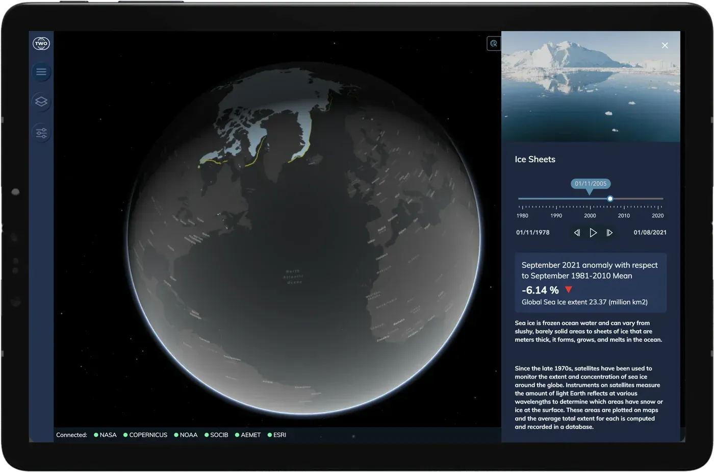
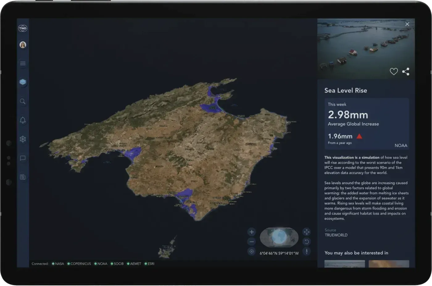
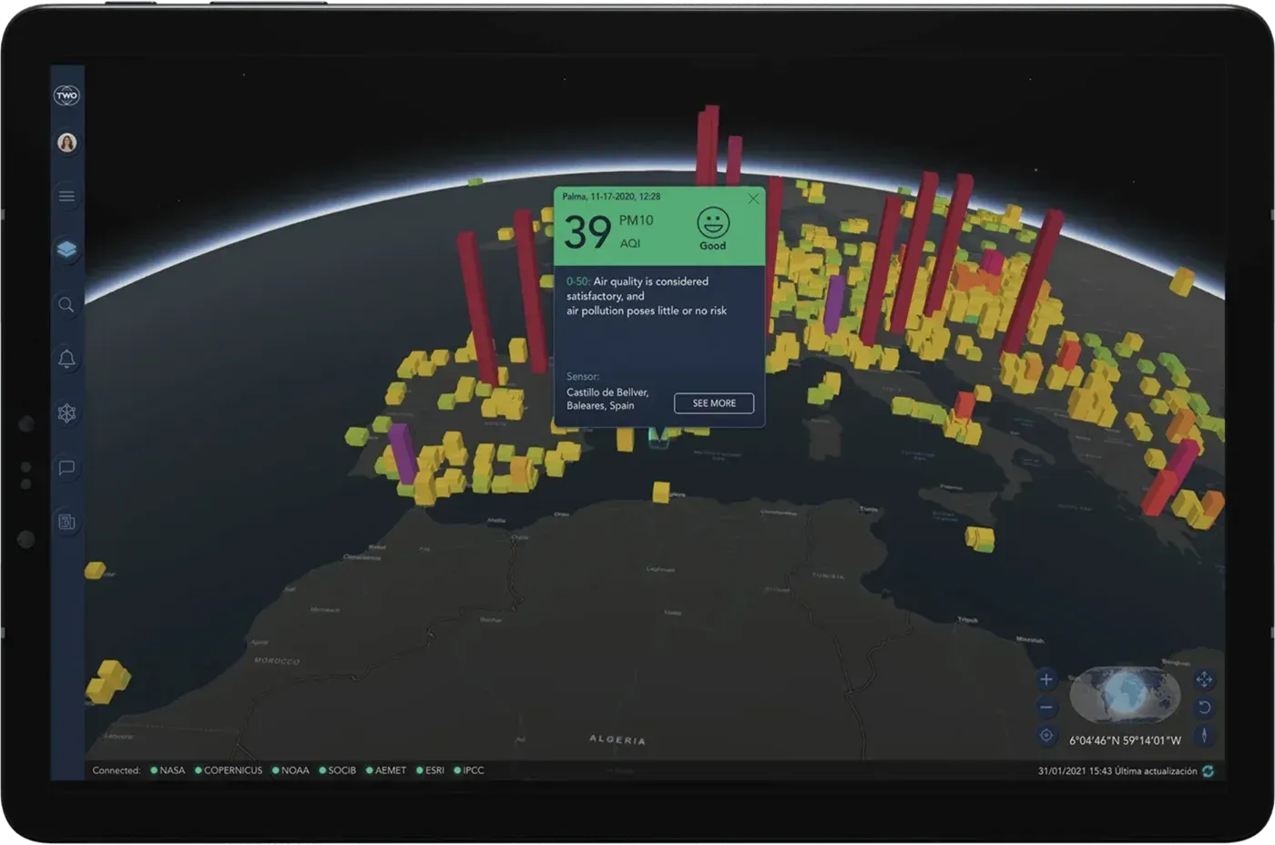
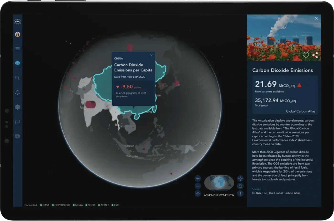
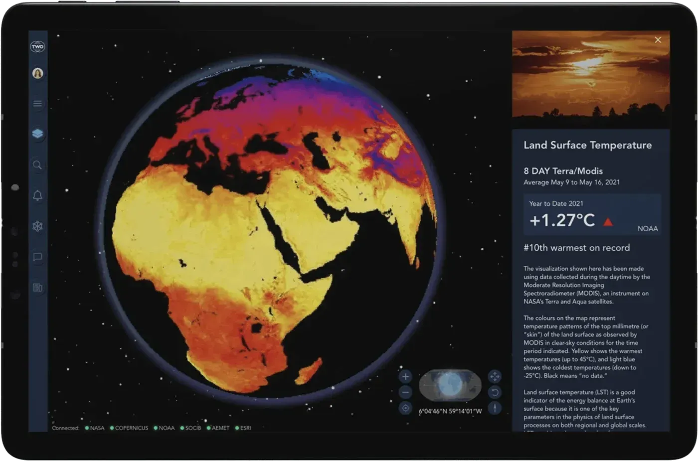
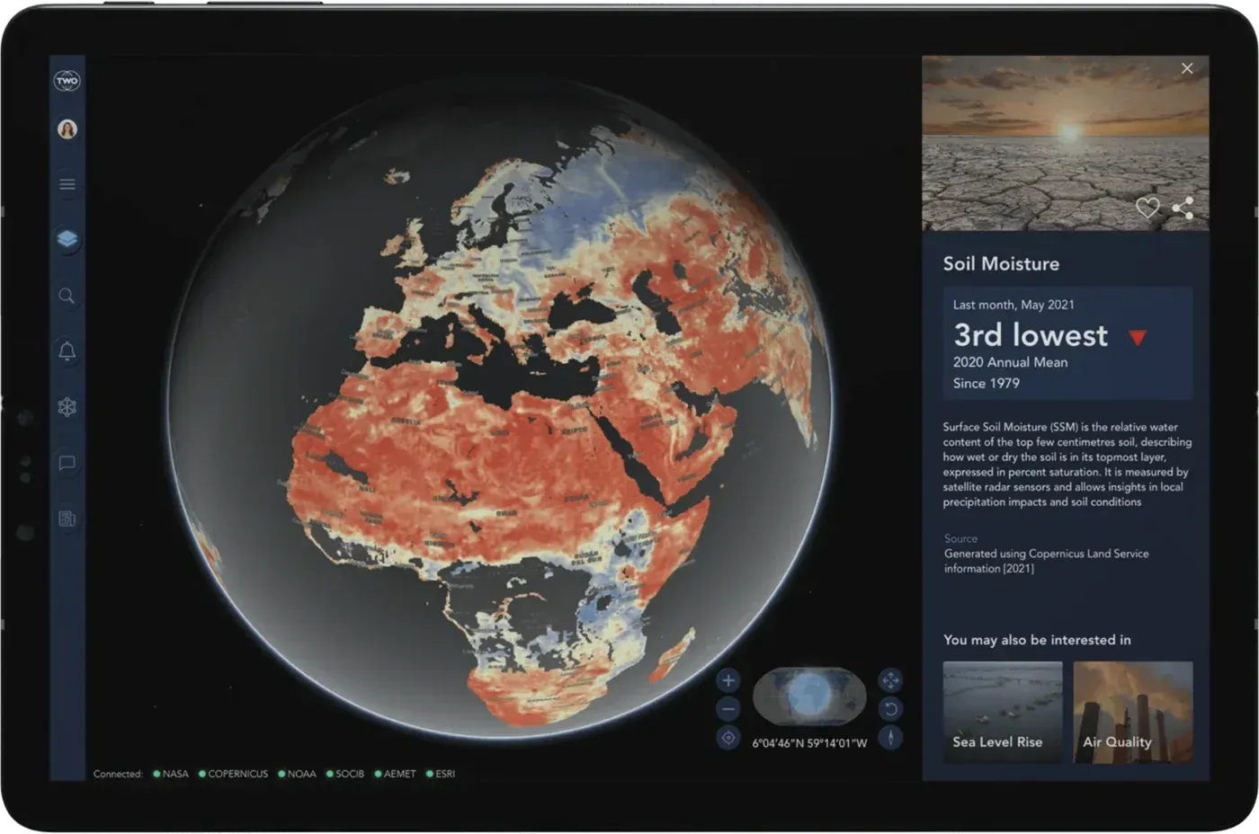
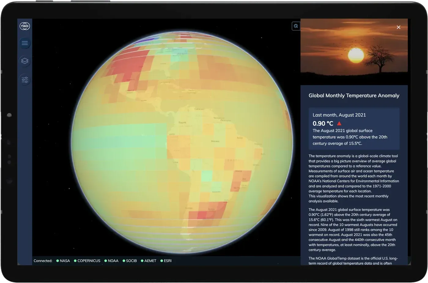
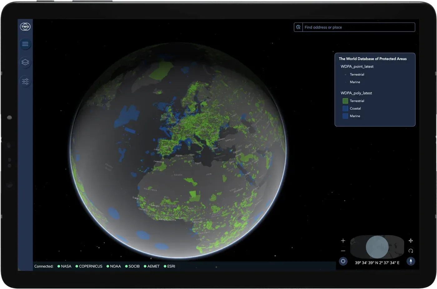
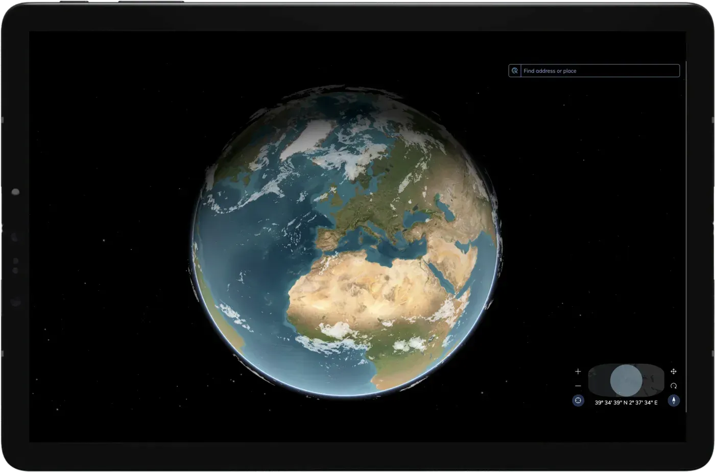
A 3D globe that brings together the Earth’s vital signs (temperature, polar ice, sea level, air quality, emissions and biodiversity) from scientific and official sources, with the source of every data point.
Layers
What you can see in the Atlas
Each layer brings together data from scientific and official sources. Choose one to see where each data point comes from.
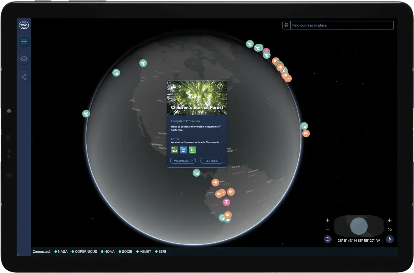
Our sources
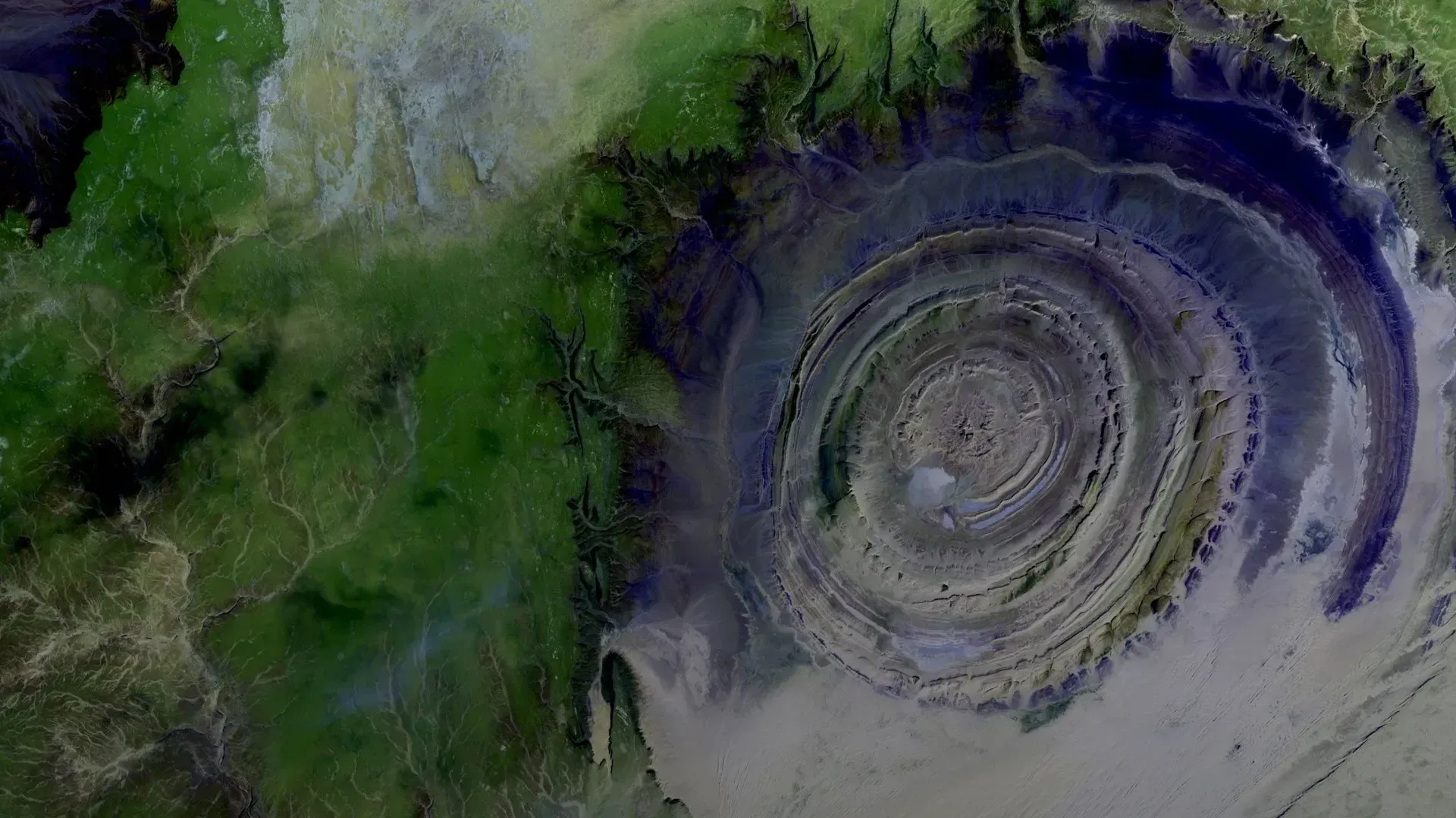
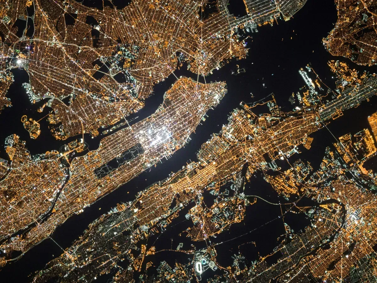
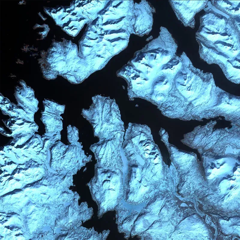
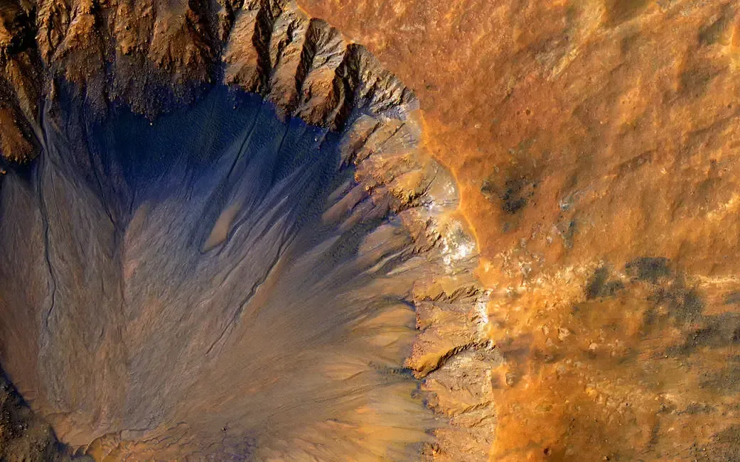
The Atlas organises information into layers: climate, atmosphere, land, biodiversity and sea. Each layer brings together data from scientific agencies and official bodies. We don’t produce that data: we bring it together, put it on the map and tell you where each data point comes from.
- Ice sheets: NSIDC
- Global temperature anomaly: NOAA
- Land surface temperature: NASA (MODIS)
- Soil moisture: Copernicus
- Air quality: WAQI
- CO₂ emissions: Global Carbon Atlas
- Biodiversity: UNEP-WCMC
- Threatened species: IUCN Red List
- Weather: AEMET
- Sea: SOCIB
Bespoke
Do you manage a piece of land?
However small it is, we can build its digital twin: a viewer with its soil, water, climate and risk data, and models that anticipate how it will change. With the same technology behind Atlas, tailored to your land.
Start exploring
Explore the planet layer by layer and see how it is changing.